
| Distance | 6.0 total approx. | |
| Terrain | Whittle Dene; muddy woodland and burn side paths & stone steps; one stone stile (WALKING BOOTS OR WALKING SHOES ARE STRONGLY RECOMMENDED) and The River Tyne Trail; mostly tarmacked paths & pavements. | |
| Grade | Easy to Moderate | |
| Starting point | meet Bridge End Inn, West Road, Ovingham, NE42 6BN | |
| How to get there | Public Transport to the start point and also at the end of the walk. Recommended Bus 684 Tynedale Links Departs Eldon Square Stand A at 11.15am – Arrives Bridge End Ovingham at 11.52 am Please check https://www.gonortheast.co.uk/ and train timetables to Prudhoe station | |
| Description | A circular route through Whittle Dene before returning to Ovingham and the White Swan pub. This will be our lunch stop. Afterwards we cross the river Tyne and walk to Wylam to enjoy two more pubs. | |
| After the walk | Please check https://www.gonortheast.co.uk/ and train timetables from Wylam station |
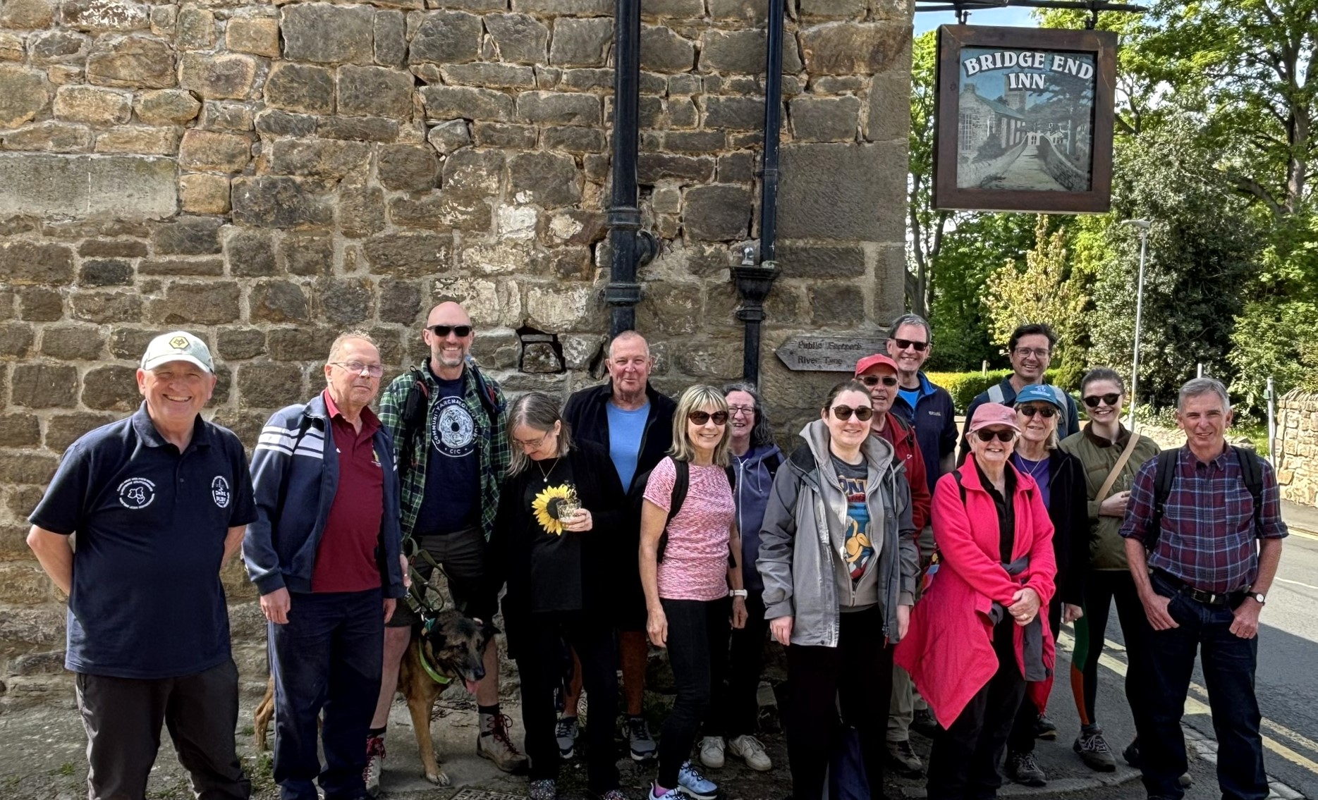
In the spring 2026 issue of this magazine we featured the Bridge End Inn, a stone-built pub transformed by the new owners after storm damage and which re-opened in March 2025. It was at this comfortable venue that 15 CAMRA members and “Ivan” gathered on a bright but cool day in early May for the latest Northumberland & Tyneside CAMRA Branch Ramble.
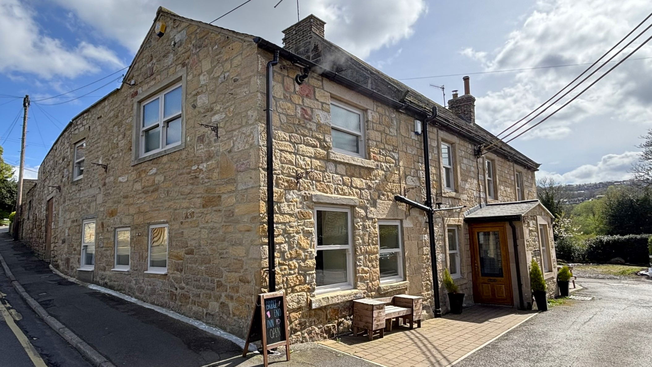
After I enjoyed a good quality pint of locally brewed Allendale, Golden Plover (4.0%) we set off on the first part of todays 6 mile walk. Passing the church of St Mary The Virgin with its tower dating from Saxon times, our walk leader Mike Allaway took us out of the village in a north-westerly direction and upstream of Whittle Burn. Now in the shadow of woodland, heavily scented with wild garlic, we followed the babbling brook through a large part of what is known as Whittle Dene. After 1 ¼ miles we crossed a well-constructed footbridge and climbed steep steps out of the Dene and back into bright sunshine. Now adjacent to open fields we enjoyed pleasant views across the river Tyne valley of the town of Pudhoe. The eye-catching Prudoe Badger, a 30m sculpture constructed in stone and marble was clearly visible on the valley side. Heading on an opposite bearing to previously we then turned back to Ovingham village. We passed the Pack Horse Bridge, a 17th century construction which enabled pedestrians and pack horses to cross Whittle Burn. The walls of the bridge were built low to allow easy crossing for the pack horses burdened with large heavy low slung baskets.
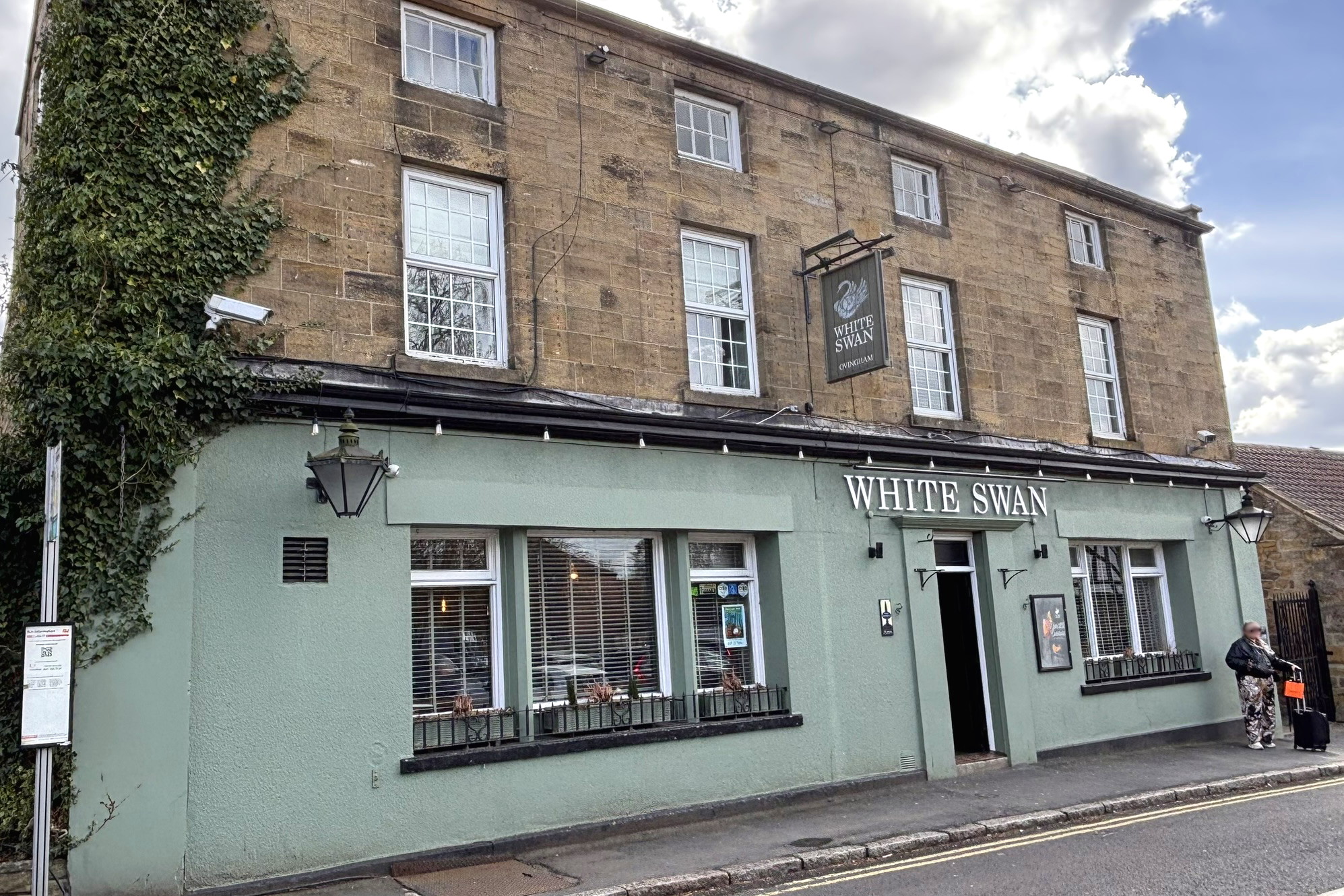
Passing the Bridge End Inn and the church once more we continued along Main Road to reach our lunch destination the White Swan. The 1841 census records that the pub was originally called The Angel and feeling energised after our 2 ½ mile walk we settled under a large garden umbrella to peruse the food menu. As with most Saturday afternoons the pub was bustling with diners and we were grateful that we had set enough time aside to patiently wait for our food orders to be served. From a welcome selection of 4 cask ales on offer I enjoyed Yorkshire-brewed Timothy Taylor, Golden Best (3.4%) a perfect accompaniment to my fish finger sandwich with hand-cut chips.
It was soon time to set off on the “second half” of todays ramble and I took the lead this time to guide our well-fed troop out of the village across Ovingham Bridge to Prudhoe on the south bank of the river Tyne. Ovingham Bridge is a pair of side-by-side vehicle and pedestrian bridges. The single track vehicle bridge has no footpath and so pedestrians use the separate footbridge that runs alongside it at the same level.
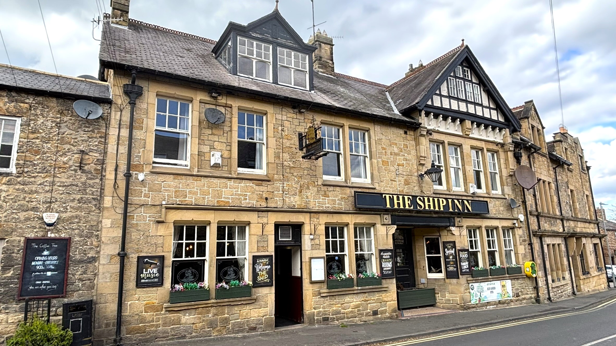
Turning sharp right and passing under the bridges we were now on The River Tyne Trail, a long-distance route approximately 135 miles long, tracing the river Tyne from its two remote sources to the North Sea. For about 2 ½ miles we followed the course of former wagonways and railway lines to the village of Wylam. On route we crossed Hagg Bank Bridge which officially is called West Wylam Bridge, but is also known locally as Points Bridge and Half-Moon Bridge. Opened to rail traffic in 1876 it connected the North Wylam Loop with the Newcastle to Carlisle line. Nowadays a handsome footbridge it has been suggested that this bridge might have been an inspiration for the designers of the much later Tyne Bridge in Newcastle upon Tyne. Now in North Wylam and on a popular route for pedestrians and cyclists we left this path from a former railway cutting to ascend to the Ship Inn, a popular local pub at the heart of the village. The bar area was crowded and we left via a rear entrance to find plenty of outdoor seating in a secluded courtyard. One of my favourite ales, Leeds-brewed Kirkstall, Three Swords (4.5%) was on offer as well as Theakston, Best Bitter (3.8%).
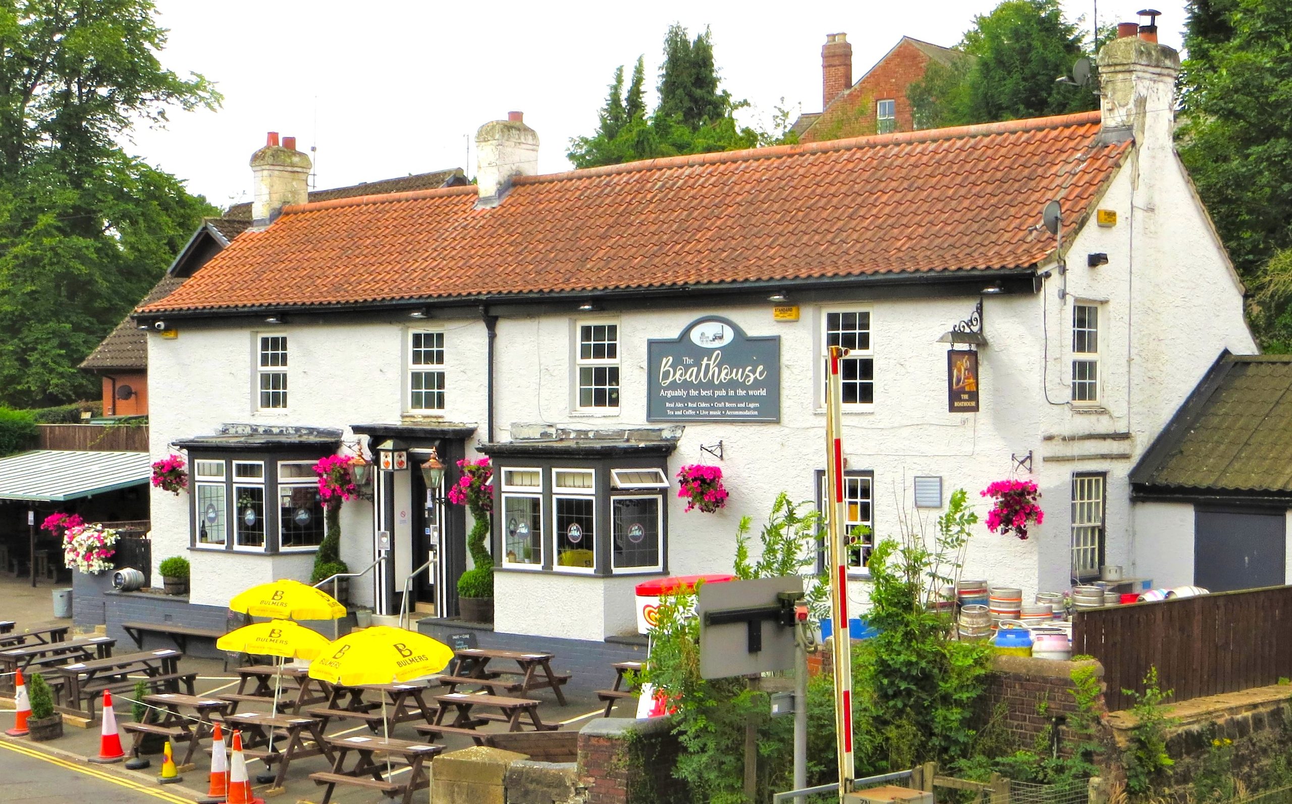
To complete the days walking we took a gentle 15 minutes stroll down through the village, crossed the river Tyne for one last time using Wylam Road Bridge to reach our final call of the day at the CAMRA award winning Boathouse pub. The pub is opposite Wylam railway station which has an elevated signal box, once a popular design on this line but is now almost unique with the only other surviving signal box of this design being located at Hexham. The Boathouse boasts an impressive array of 15 handpulls. I was delighted that one of those on offer was Baffled (6.2%) a hazy New England IPA brewed by Blaydon based Firebrick Brewery. In April of this year Northumberland & Tyneside CAMRA Branch held a “Battle of the Beers” blind judging competition at their Newcastle Beer & Cider Festival and this beer was a worthy winner in the New World IPA category. Our group sat on the outside benching and I sipped away at this gorgeous tasting ale reflecting on yet another successful branch event.
Our plan is to hold the next CAMRAmble west of Newcastle city centre in August when we will again be enjoying good walking, cosy pubs and lovely ales and ciders. Please look out for it on our branch diary and social media.
Tara-a-bit!
@MorpethWolf
- Distance
- 5.62 mi
- Max elevation
- 222 ft
- Waypoints
- 4